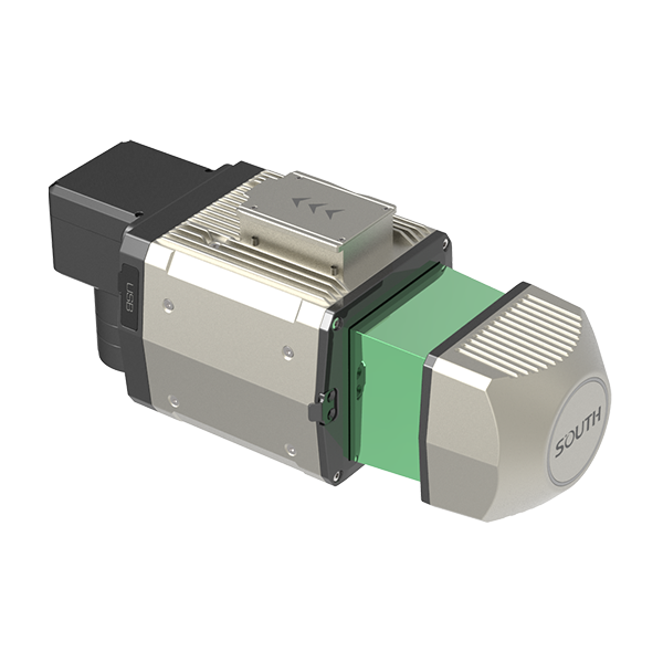
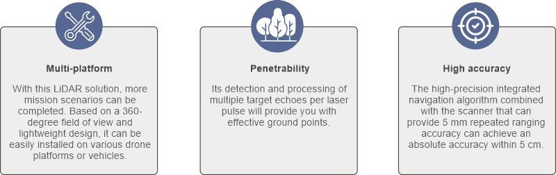
- SG130 is a multi-platform LiDAR system that combines high-resolution laser scanning and precise positional data to collect geo-referenced point cloud, which is particularly designed for geospatial survey scanning from air to ground.
| Scanner Performance | Laser Pulse Repetition Rate (PRR) | 600kHz | 400kHz | 300kHz |
| Max.Measuring Range@ρ> 20% *1 | 250 | 350 | 450 | |
| Max.Measuring Range@ρ> 80% *1 | 300 | 450 | 600 | |
| Typ. flying height | 120m | 200m | 250m | |
| Measurement rate | max.800,000 pts/sec | |
| Scanning FOV | up to 360° *2 | |
| Max. Number of return pulses Max. | 12 | |
| Measuring Range, natural targetsρ> 80% | 1000m | |
| Measuring accuracy *3 | 10 mm (single)/ 5 mm (repeat) | |
| Laser safety class | Class 1 (lEC 60825-1:2014) eye-safe | |
| Laser wavelength | 1550nm | |
| IMU & GNSS | IMU Accuracy | 0.006° Roll/ Pitch 0.019° Heading |
| IMU update rate | 500HZ | |
| Position Accuracy | 0.01m horizontal 0.02m vertical | |
| General | Absolute accuracy | ±3cm (H/V) *4 |
| Storage | 256 G Flash Drive | |
| Dimensions | 234mm x 112mm x 120mm (without camera) | |
| Weight | 2kg | |
| Working temperature | -20°~ +55° | |
| IP rating | IP64 | |
| Power consumption | 40W | |
| RGB Camera | Resolution | 45/61MP |
| Focal length | 18mm | |
| Sensor size | 36*24 mm(8192*5460) | |
| Pixel size | 4.4um | |
| FOV | 90° | |
| 200 meters high resolution | 4.9cm |
SG130 is a new generation of multi-platform LiDAR launched by South Surveying & Mapping. It has a smaller volume and lighter weight. With a measurement range of 900 meters, it can easily handle large-scale mapping tasks in complex scenarios. The cable-free design and integrated slider design allow for quick switching between multiple platforms such as unmanned aerial vehicles and vehicles.
South Precision - Copyright 2019. Developed by Web Multi Design