Welcome to South Precision

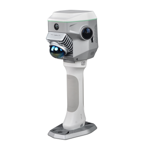
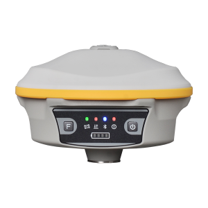
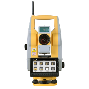
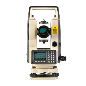
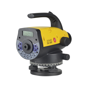
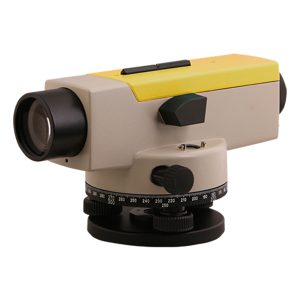
Established in 1989 and headquartered in Guangzhou,South Precision Instrument Pvt. Ltd. is a professional and leading enterprise in the surveying industry, whose five affiliated factories specialized in R&D and manufacturing and selling different kinds of surveying products, including Total Station, Electronic Theodolite, Electronic Distance Meter, Automatic Level, Laser Level, Reflector Prisms, surveying accessories, GPS receivers, Mapping Software, etc.
With the keen dedication and customer focus of over 4,000 employees, South has expanded its seamless coverage at a national level. Plus the annual output and sales of 40,000 pieces of Total Stations, 45,000 pieces of Electronic Theodolites, 20,000 sets of GPS receiver and 10,000 sets of software, all of which adds up to a powerful force capable of serving the customer every need, moreover, their expectations.

Product Category

South Precision Products Category

Latest News

South Precision latest News

SOUTH NEW R20 EDM, NOT ONLY LONGER DISTANCE

South has released New R20 EDM. Let us instroduce its new technology and outstanding performance.  Advantages: more longer, higher accuracy, less data jump, more stable and more faster. With the R20 EDM, we can measure the target with distance 2000m away in Non prism mode. This is the world...

Z-Lab LiDAR ACCELERATES DAM SURVEY IN INDIA

Dams are one example of the increasing pressure on river services. Mostly, dams are built to gain hydropower, but they support also the creation of fishponds or, in dryer areas, irrigation of agricultural land. In many regions of India, dams and reservoirs are used to secure irrigation of agricultural...

3D Laser Products in Mumbai

On October 12th, South Precision Instrument Pvt. Ltd. held 3D laser products conference in Mumbai, the coastal city of western India and the capital of Maharashtra. About 200 representatives of surveying and mapping units, surveying and mapping institutions and government agencies from Mumbai and some other cities attended this...

INSIGHT V1 WAS BORN FOR INTELLIGENCE ERA

With the development of measurement technology, GNSS satellite positioning technology is gradually integrated with optical measurement and photogrammetry. After years of technical accumulation, SOUTH launched a magical instrument “INSIGHT V1” which combines with RTK receiver to constitute an image measurement system. It can quickly acquire those points where RTK...

LIDAR SURVEY FOR COUNTRYSIDE ROADWAY ENGINEERING

Background Information Qun’ai Village and Dengshan Village, located in Zengcheng District, Guangzhou, cover an area of 2.5 and 7 square kilometers respectively. From the map guide below, you may find that the linear distance between 2 villages is actually 4 kilometers (see below). However, without actual roadways in between,...

WITHOUT TILT SENSOR,WE CAN STILL DO TILT SURVEY?

Preface In recent years, tilt measurement is rapidly developed and widely used, so GNSS receivers usually come with 2 measurement sensors (Electronic bubble& tilt sensor) to assist with tilt measurements. The electronic bubble is more reliable and provides better accuracy compare to the tilt sensor. This routine takes advantage...