

FREE STATION, SURVEY WITHOUT ANY CONTROL POINT!
In traditional operation, control survey must be made before using total station, first make orientation then take measurements; now South Navi station can achieve the integration of orientation and survey. Through GNSS measurement, position of the occupied station can be directly determined, so that operation can be performed without...
Read more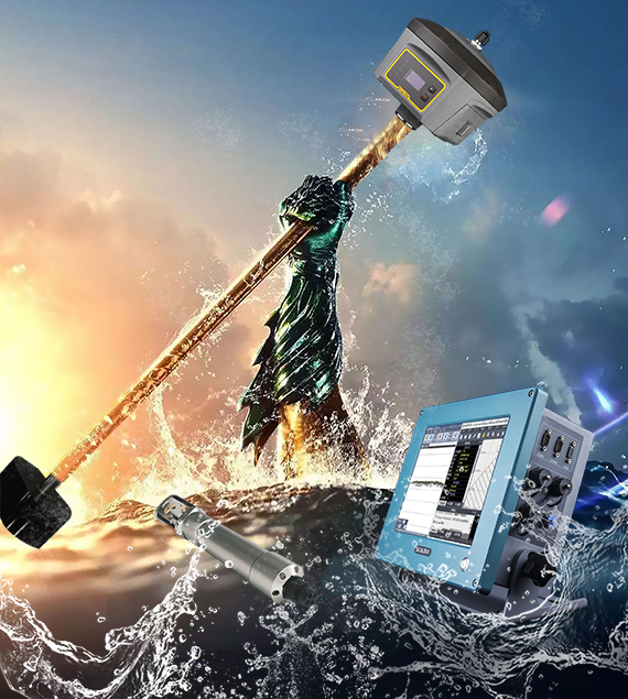
SOUTH IMU WORKS IN HYDROGRAPHIC SURVEY
SDE-260D dual frequency echo sounder, G6 (IMU) RTK and SV30 sounding velocity sensor will give you a professional hydrographic survey package. Before we always use the external IMU sensor to calculate the coordinate when the survey pole which is not vertical, like below picture or some. And the external...
Read more

REVOLUTIONARY LIDAR USER TRAINING: AN IN-JOB TRAINING STORY(2)
What if the data volume is too big to process by our own team? Next to the geo-referenced point cloud generation, the classification came. “The first step is the initial classification using macro algorithm to run automated processing, like batch-oriented computation.” Jane continued. It was another experience talk for...
Read more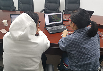
REVOLUTIONARY LIDAR USER TRAINING: AN IN-JOB TRAINING STORY(1)
When a new methodology comes into the survey society, people usually say it’s fantastic but always have reasons to doubt whether it’s trustworthy enough to supplement or even replace the existing way in actual jobs. As a matter of fact, LiDAR has revolutionized the surveying and mapping in the...
Read more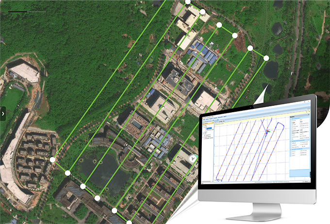
FLY PPK DRONE AND GET YOUR PRECISE POS DATA WITH SKYLINES
Transforming more tough fieldwork, like GCP (Ground Control Point) measurements, into fast processing is always enjoyable to surveyors. As a specialized GNSS data software kit, SkyLines is engineered to deal with the flight lines and compute precise aerial positional information of drones equipped with an airborne RTK/PPK module (eg....
Read more
HIGHLIGHTS IN GLOBAL LIVE SHOW
Survey Live Show Timetable 25/03/2020, 6:30-7:50 pmRTK Special 26/03/2020, 6:30-7:30 pmTotal station Special 27/03/2020, 6:30-7:30 pmUSV Special 30/03/2020, 6:30-7:50 pm LiDAR Special Note: The time above refers to India time and a web link to each live show studio will be posted in our official website several hours ahead of the events that day.
Read more
SOUTH GNSS PRODUCTS USED IN POLAR REGION
SOUTH GNSS products once again proved its outstanding performance in extreme tough conditions. Recently, technicians from Russia’s St. Petersburg branch went to the Yamal region of Russia to provide technical support for a natural gas company’s “Megaprojects Yamal” project. The project was mainly laying natural gas pipelines in the...
Read more
IMU-BASED RTK HELPS US TO IMPROVE OUR WORK EFFICIENCY
Development of surveying Once upon of time, the measurement method was limited by using indium steel rulers. As the time goes on, and the social development, the optical instruments were started to widely use to field surveying, such as theodolite, auto levels. Even the laser and infrared instruments, as...
Read moreRecent News


SMART MONITORING SOLUTION FOR DAM OF WOHUSHAN RESERVOIR

LIVE BROADCAST|VISIT ONLINE EXHIBITION WITH Mr.Ma

Recent Comments