
INSIGHT V1 WAS BORN FOR INTELLIGENCE ERA
With the development of measurement technology, GNSS satellite positioning technology is gradually integrated with optical measurement and photogrammetry. After years of technical accumulation, SOUTH launched a magical instrument “INSIGHT V1” which combines with RTK receiver to constitute an image measurement system. It can quickly acquire those points where RTK...
Read more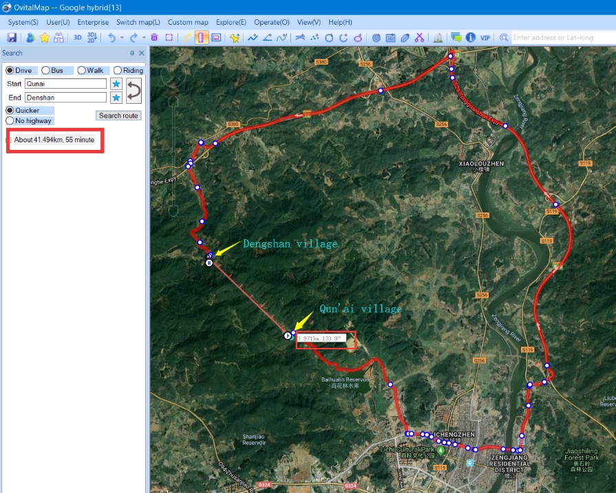
LIDAR SURVEY FOR COUNTRYSIDE ROADWAY ENGINEERING
Background Information Qun’ai Village and Dengshan Village, located in Zengcheng District, Guangzhou, cover an area of 2.5 and 7 square kilometers respectively. From the map guide below, you may find that the linear distance between 2 villages is actually 4 kilometers (see below). However, without actual roadways in between,...
Read more
WITHOUT TILT SENSOR,WE CAN STILL DO TILT SURVEY?
Preface In recent years, tilt measurement is rapidly developed and widely used, so GNSS receivers usually come with 2 measurement sensors (Electronic bubble& tilt sensor) to assist with tilt measurements. The electronic bubble is more reliable and provides better accuracy compare to the tilt sensor. This routine takes advantage...
Read moreRecent News


SMART MONITORING SOLUTION FOR DAM OF WOHUSHAN RESERVOIR

LIVE BROADCAST|VISIT ONLINE EXHIBITION WITH Mr.Ma

Recent Comments